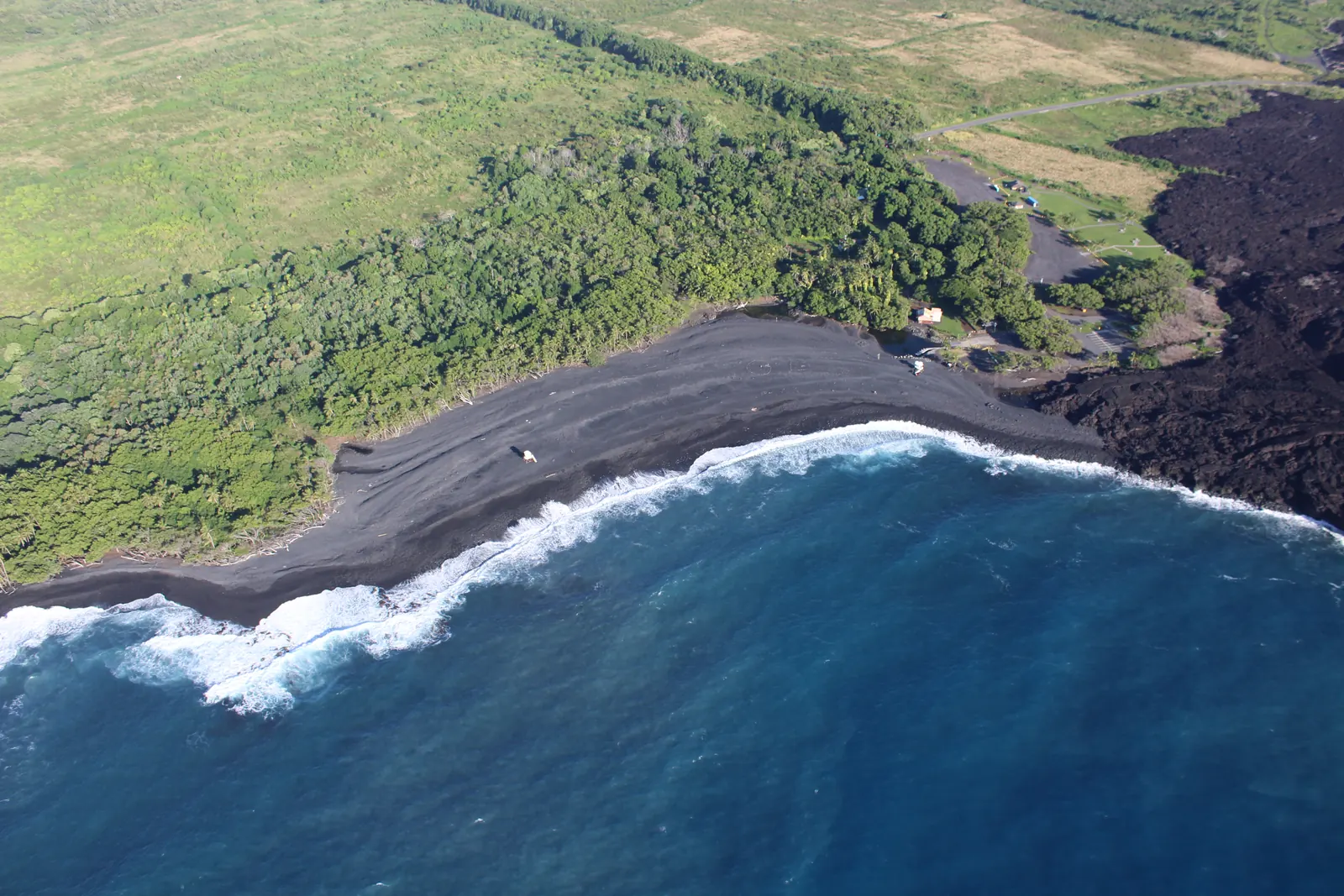
Surf spots with a live report, thirty-six beaches, the reefs and bays of the island and the marine life you may meet, with what the agencies publish about access, facilities and lifeguards.
7surf spots
36beaches
4snorkel places
Real screens from the app
01 / 06
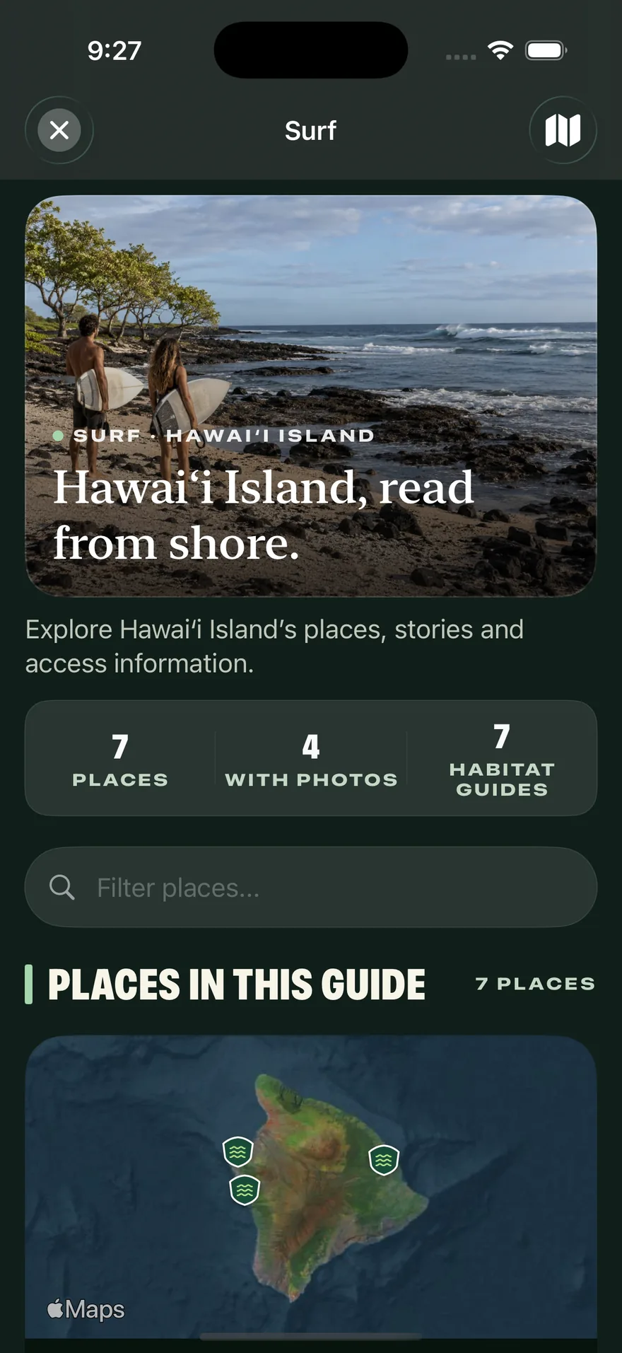
Hawaiʻi Island, read from shore
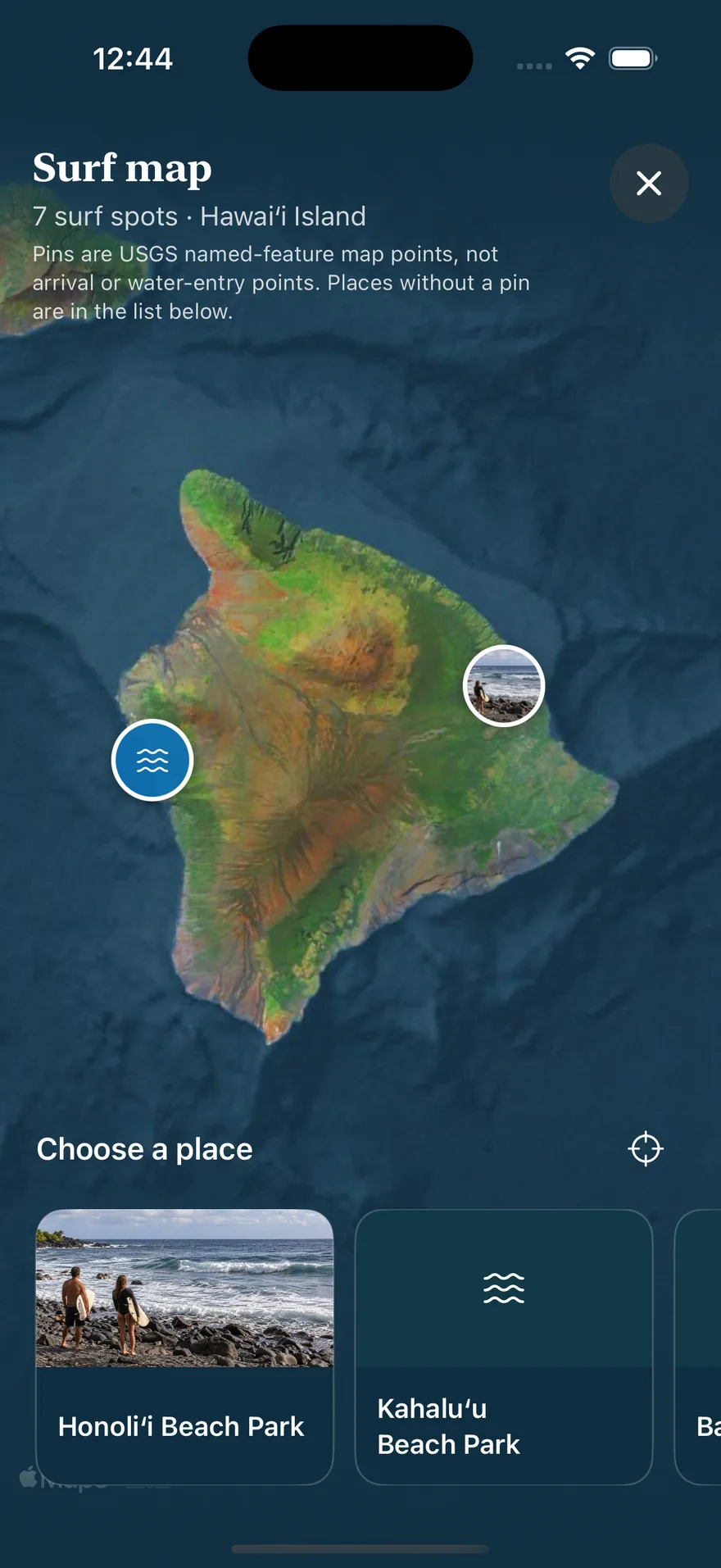
Every surf spot in the guide, on the map and in a list with photos.
02 / 06
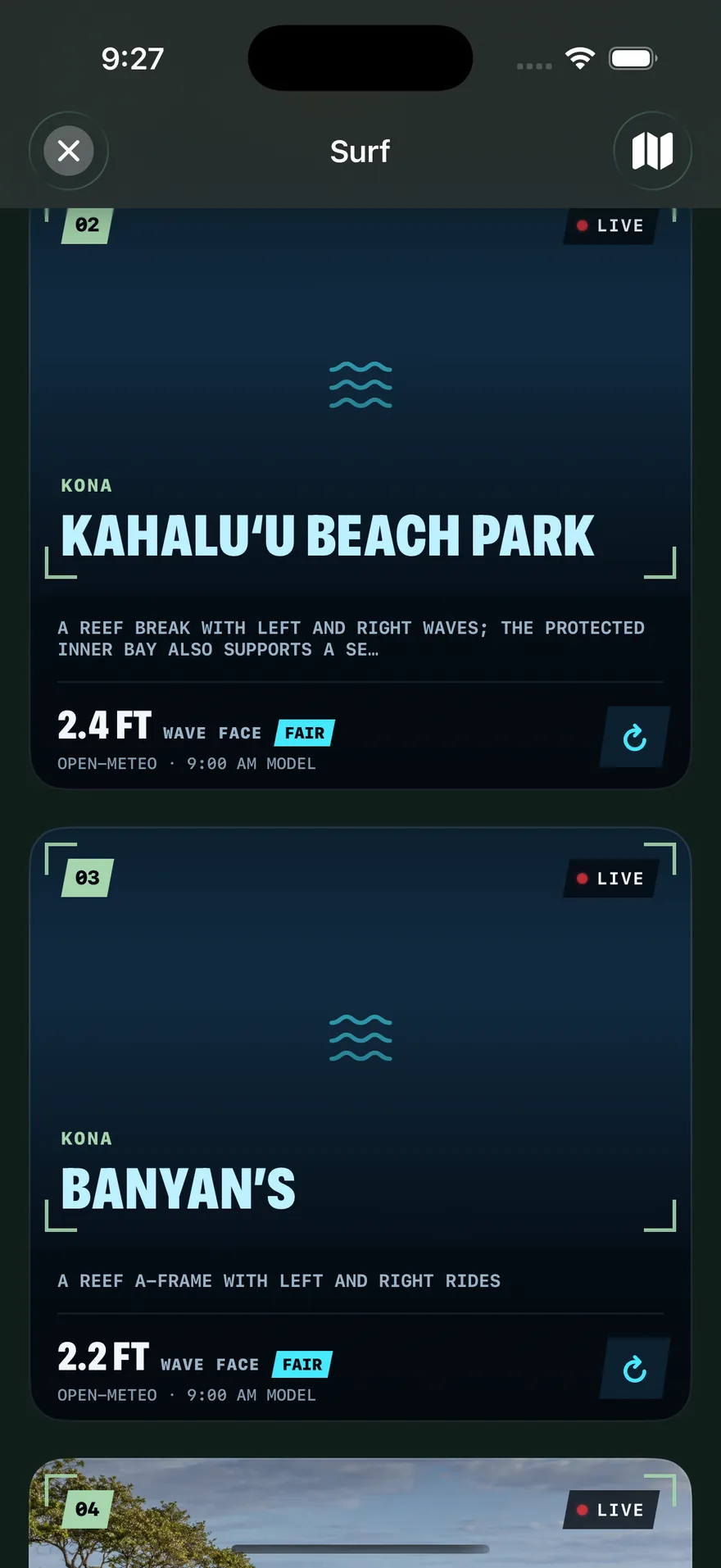
Live surf cards
Wave face, swell, wind and tide for each break, from a model forecast for the area.
03 / 06
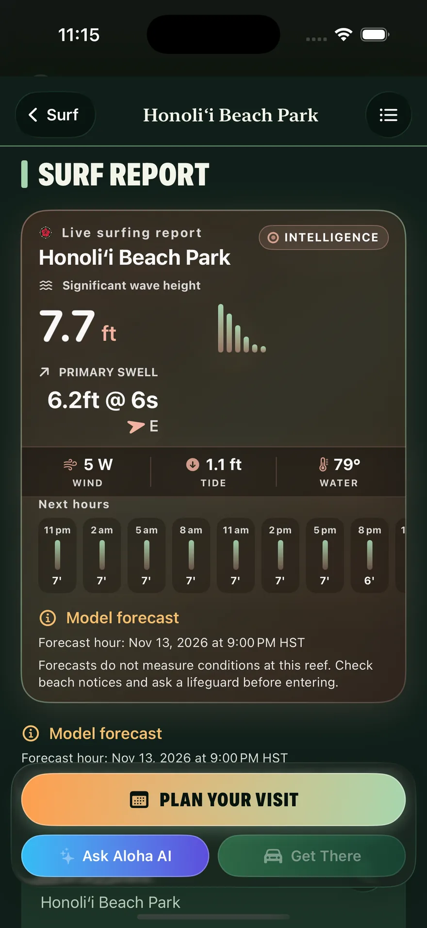
A report for the spot
Wave height, primary swell, water temperature and the next hours, with a reminder that forecasts do not replace a lifeguard.
04 / 06
The surf map
See the breaks around the island and choose a place.
05 / 06
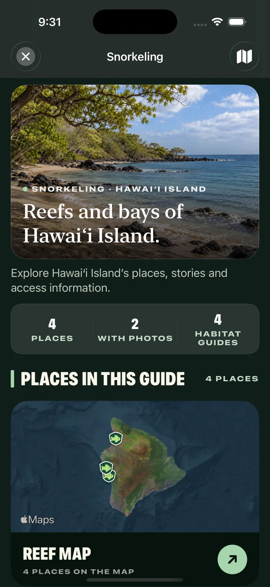
Reefs and bays
Snorkel places with reef cards, habitat guides and marine-life cards.
06 / 06
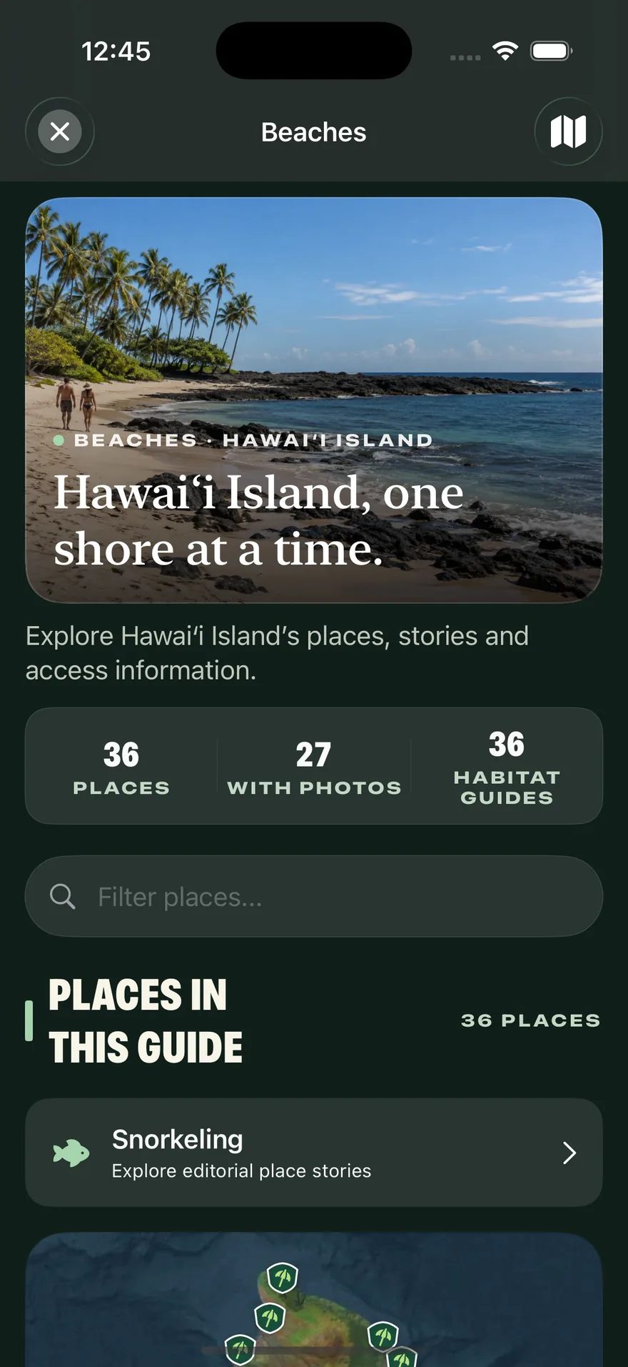
One shore at a time
Thirty-six beaches, each with its story, access information and facilities.
Forecasts are model data, not measured conditions at the beach. Ocean conditions change quickly: check with a lifeguard and follow posted warnings.